
Walking guides, leaflets & self-guided walks
The guides & leaflets are a mix of commercial and privately published work. The self-guided walks are devised by our members. If you try any and you find a problem, please let us know.
Walking guides & leaflets
Self-guided walks
Nocton
Gedney Drove End
Rimac Nature reserve
Lincoln (Riseholm)
Stamford & Barnack
Tetford
Louth & hallington
North Rauceby & Sleaford
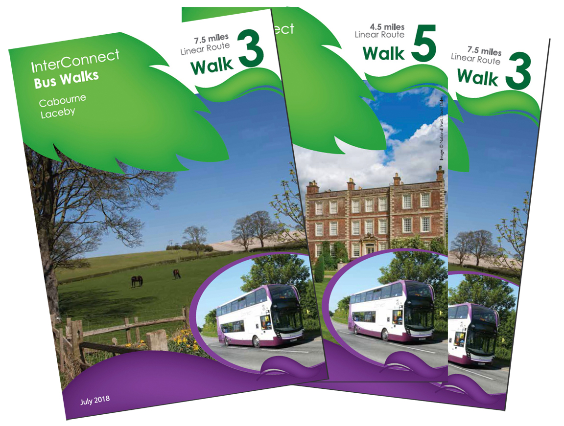
A series of 7 linear walks, devised in partnership which included the Lincolnshire Ramblers, across the Lincolnshire countryside.
All accessible by regular STAGECOACH InterConnect bus services.
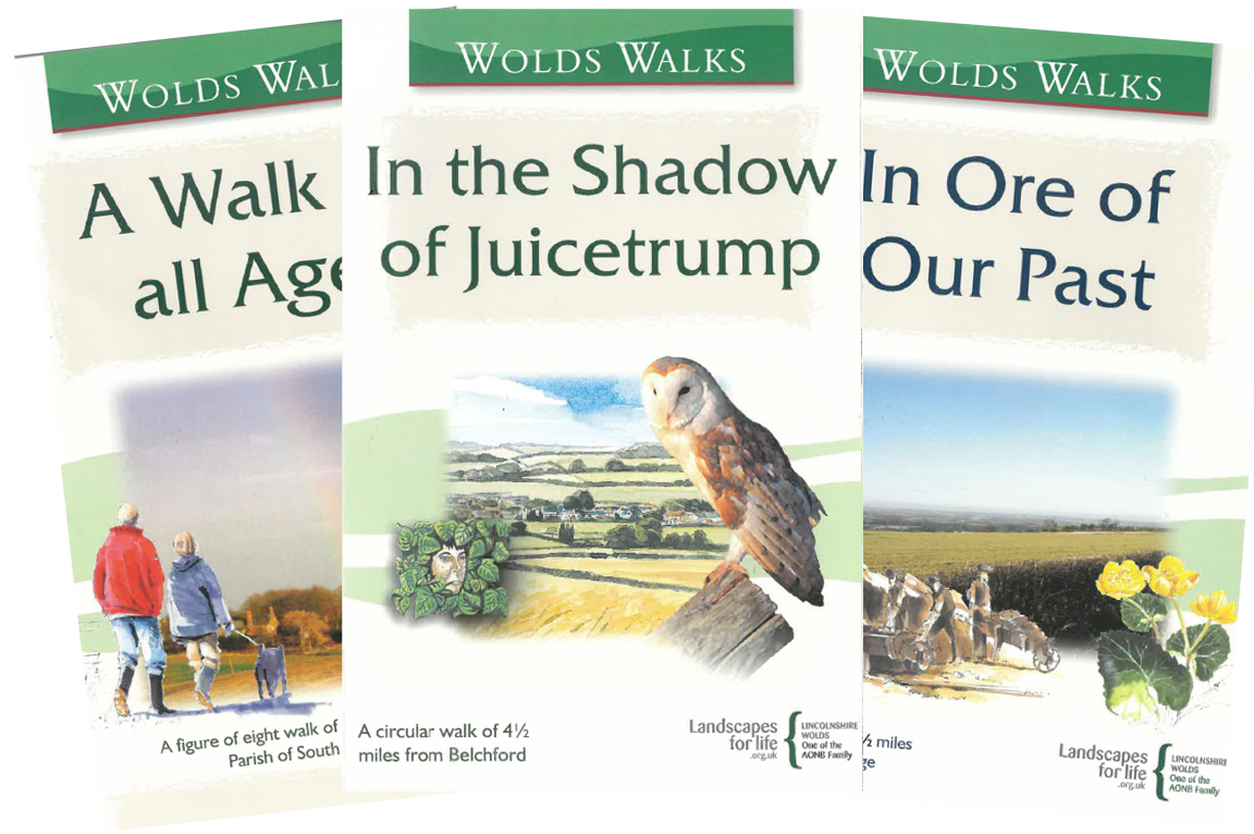
The Lincolnshire Wolds Countryside Service produce numerous publications and leaflets to help you enjoy a visit to this wonderful part of the country.
The publications are available from the Lincolnshire Wolds Countryside Service and can be downloaded as a pdf. Most are also available at local tourist information centres and libraries.
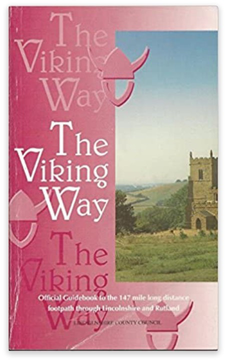
The Viking Way is so named because it crosses an area that was occupied by Norse invaders. From the banks of the River Humber it crosses the Lincolnshire Wolds to Caistor, then along the Bain valley to Horncastle from where the Spa Trail is followed along the trackbed of a former railway to Woodhall Spa and along the Witham Valley, crossing flat fenland to Lincoln. Turning along the limestone escarpment of Lincoln Cliff and over Lincoln Heath, the route of the prehistoric Sewstern Lane is traced to reach Woolsthorpe Locks on the Grantham Canal. Another section of Sewstern Lane and other old tracks are followed to Thistleton from where the Way takes field-paths and lanes past Greetham, Exton and Rutland Water. At Oakham it links with the Macmillan Way and the Hereward Way.
The guide can be downloaded in sections from the LCC web site here or purchased as a book from LCC or Amazon. Lincoln Ramblers also sell Viking Way badges, for £2.00 plus SAE. from John Wright: phone 01522 793928, e-mail
![]()
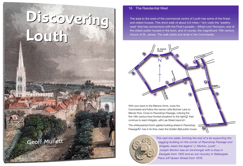
Discovering Louth is a book containing four walks exploring the historic townscape of the market town of Louth, on the edge of the Lincolnshire Wolds. Researched, written and published in 2010 by Geoff Mullett, the circular walks, each a maximum of 2.5 miles all start in the town's Cornmarket. Each walk has a theme – The Medieval Town, The Residential West, Foillowing The Flood, and Louth's Parks.
48 full-colour pages with maps of the routes, the book is available from the author £4.00 inc. p&p.
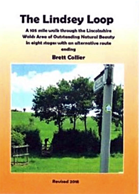
The Lindsey Loop is a 96-mile long-distance recreational walking route linking the six market towns in East and West Lindsey. The towns, Market Rasen, Caistor, Louth, Alford, Spilsby and Horncastle border the Lincolnshire Wolds AONB so an alternative name could be 'A Lincolnshire Wolds Circuit.' The route takes you through the rolling countryside of the Wolds and includes many obscure villages both undiscovered and unspoilt as well as a 60-foot wide Roman Road. Members of the Ramblers created the route and the late Brett Collier MBE wrote the guidebook.
The walk as originally written starts at Market Rasen and ends at Louth but for the second edition Market Rasen was added as an alternative end point. The walk is aimed particularly at those who enjoy a long-distance walking experience. The guidebook divides the route into eight sections varying from 9.5 to 14.5 miles – distances that can be walked in a day, assuming good weather and daylight.
The walk can be done in one 8-day session or over a longer period on single days or several weekends. When public transport is available it can be used to return to the start at the end of the day's walk. Sadly, public transport is infrequent in the Wolds, particularly on Sundays so linear walks like this have to be tackled using two or more cars. However, lone walkers need not be deterred. It has been known for individuals to take their car with bicycle on board to the end of the walk. Here the bike is left in a safe location to be used to cycle back to the start after the walk. That's real dedication!
The updated second edition of the guidebook was produced in 2004 and this includes the additional section to allow an ending in Market Rasen. This conveniently divides the route into a northern loop, 57 miles and a southern loop, 62 miles. These loops could be tackled as separate walks, if desired.
No further copies of this book will be printed, but the PDF version, along with the GPX files, can be downloaded here. Also available is a PDF file of the OS maps.
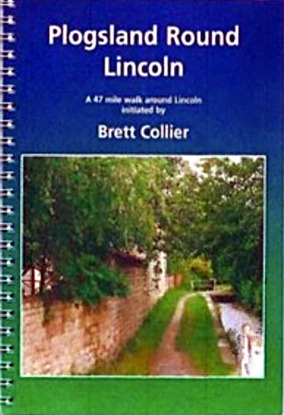
The Plogsland Round is a 47 mile circular walk around Lincoln. Throughout Lincolnshire there are many delightful walks over public rights of way, but it is often necessary to use a car to get to them. Plogsland Round, Lincoln as designed to reduce the necessity for lengthy car journeys and also to offer the possibility of using public transport. In addition to the long established circular route, two other connections have been made so that it is possible to begin and end Plogsland Round from the Youth Hostel on the South Common, Lincoln.
The circular route is divided into five sections, starting at Fiskerton. They are: Fiskerton to Nettleham; Nettleham to Saxilby; Saxilby to Thorpe-on-the-Hill; Thorpe-on-the-Hill to Branston; Branston to Fiskerton. The alternative starting section is from Lincoln South Common to Fiskerton and the alternative finishing section is from Washingborough back to Lincoln South Common. The guide gives clear directions for all sections and includes sketch maps of the route. Terrain details, distances, estimated walking times and public transport details are included.
The route description was updated in 2020 and is now available to downoad free of charge HERE
Start and Finish: Fiskerton, Lincs (Grid Ref.TF058715)
Lincoln Ramblers also sell Plogsland Round badges, for £2.00 plus SAE. from John Wright: phone 01522 793928, e-mail John Wright
Bourne Blunder is a 20-mile route to the south of Grantham, taking in a sculpture trail, the Grimsthorpe Castle Estate, an 11th century castle mound, a chestnut avenue and lakes at Holywell Hall. From start to finish, places visited, starting and finishing in Bourne Wood include Edenham, The Vaudey, Bishophall Wood, Crow Wood, Swinstead, Gorse Hill, The Drift, Creeton, Lawn Lane, Lawn Wood, Castle Bytham, The Quarries, Holywell, Little Bytham, Bytham Riding, Deer Park, Kennel Plantation, Elder Holt, Rough Hills Plantation and Auster Wood.
Start and Finish: Bourne Woods Car park Lincs (Grid Ref. TF077202). Download the route description here. Download the GPX file here
The Towers Way is a meandering linear route from the north of the county south to Lincoln city. Where possible the route avoids the Viking Way and links 40 churches along the way. In addition to the Viking Way there are connections to the Wanderlust and Nev Cole Ways and to the Lindsey Loop.
Length 100 miles, Start point Barton on Humber, Lincs (Grid Ref. TA032218), finish Lincoln city. (Grid Ref. SK978719).
Download a PDF file of the route here.
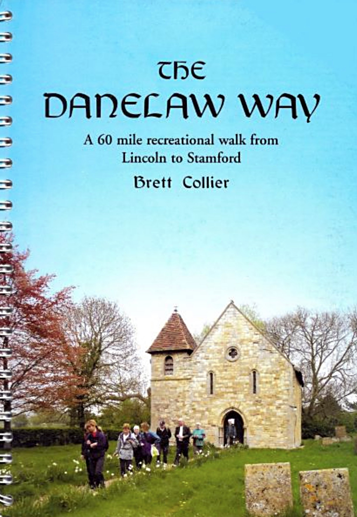
The Danelaw Way is a 60-mile linear walking route which links the two 'burghs' of the ancient Viking Danelaw, Lincoln and Stamford and passes through the beautiful Lincolnshire countryside. From the beginning of the walk in Lincoln the Way passes through North Hykeham, South Hykeham, Auborne, Bassingham, Carlton-le-Moorland, Brant Broughton, Caythorpe, Ancaster (Roman Town), Oasby, Ropsley, Ingoldsby Wood, Corby Glen, Creeton, Castle Bytham, Pickworth, Ryhall and Belmesthorpe before finishing in Stamford.
First published in 2005 and updated in 2018, it is available to download free of charge HERE
An attractive cloth badge is available for £2.00 plus SAE, is available from John Wright. phone 01522 793928,
e-mail John Wright